LATEST NEWS
AIVDP Steps towards Digitization as Staff Receive Training on GIS

News
22 Dec
Those who’ve heard of the acronym ‘GIS’ may immediately associate the term with militaristic exploits, however Geographic Information Systems (GIS) have been utilised in a variety of non-related industries ranging from Insurance to Dairy. GIS are computer systems used for capturing storing, checking and displaying systems related to positions on Earth’s surface. Despite its historical application, GIS is presently used in industries including Agriculture.
With field staff spread across the Project’s area of intervention, all activities, particularly those pertaining to Agricultural Productivity and Infrastructure, are to be monitored and evaluated with shrewd precision. Therefor enhancing the capacities of staff to collect and process data to monitor field activities, has taken top priority.
Under the tutelage of renowned GIS expert Mr. Bakia, members of the Project Management Unit and Basin Supervisors, underwent five days of intensive training on GIS. The fastidious sessions, which took place at the Holiday Inn in Limbe, from December 7th to 11th included a variety of modules such as GPS Data Collection, Downloading and Exchanging of GIS data, Map Production, Uses of Geo Processing Tools and Map Projections.
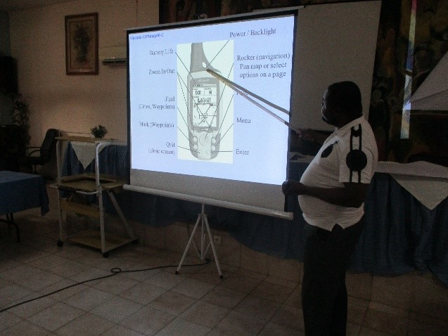
(left) Lessons on using the GPS (right) Participants familiarize themselves with GPS during class exercise
To supplement material taught on the information systems, practical exercises were organized in the form of excursions where attendees travelled to Limbe III applying what they absorbed during the workshop. The first excursion, saw attendees visit a farm belonging to one of the CIGs, who had recently received plantain suckers and citrus seedlings from AIVDP. The second excursion, executed on Day 4 of the workshop, took the participants to Bonadikomba and Middle Farm’s Stadium.
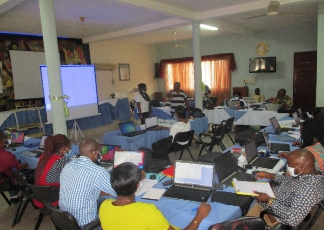
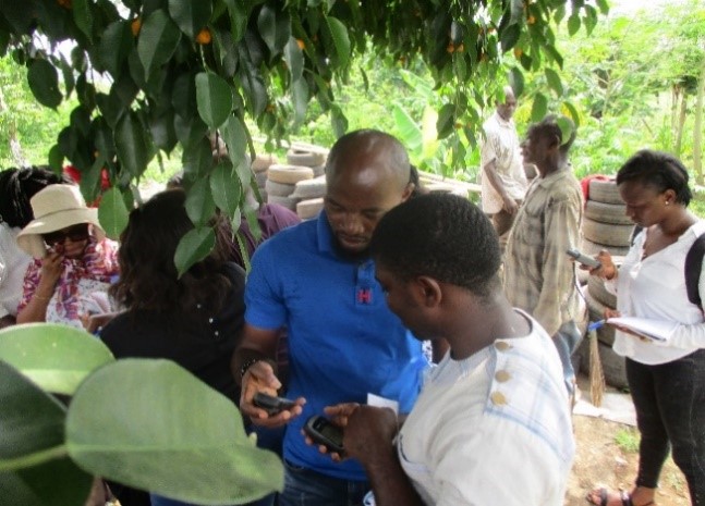
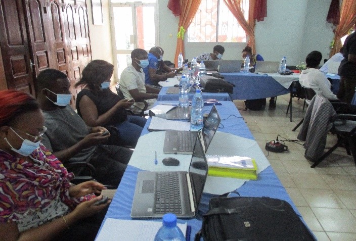
(left) Participants engaged in GIS module (right) Basin Supervisors collaborate during GIS during feild excursion
Despite varying geographical circumstances found in each Basin, field workers have concurred that the GIS session played a key role in facilitating field activities. Expressing his appreciation for the training Basin Supervisor for Ndian states, ‘I was impressed with the sessions as it was a topic and software I had never been exposed to before. I find that it adds to my capacities and provides evidence of the locations I visit by the coordinates I take and map. It will be helpful in giving funders a precise visual of AIVDP’s operations.’
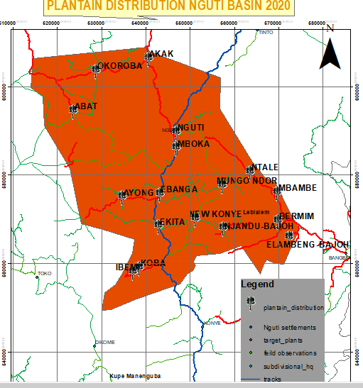
Resonating with the practicality of the training session, Nguti Basin Supervisor, recounted, ‘I’m now able to identify and measure farms of beneficiaries who had received planting materials. We currently have an estimate on the total surface area of where planting materials were distributed in my Basin and are now able to pinpoint exact locations of nurseries as well as the number of cooperatives in these areas. Not only has this made follow up activities easier for us, it will assist in future backstopping missions.’’
Field Field Staff have also been able to use GIS to personally assist farmers in identifying their land sizes- an added bonus for those seeking guidance when putting in requests for effective demand of agricultural inputs. Confirming the latter Akwaya Basin Supervisor narrates, ‘It’s not uncommon for certain beneficiaries to not know the exact dimensions of their farm, in that respect, I was able to use my GPS to calculate the area of their land. Not only did the training provide me with knowledge- it’s allowed us to add value to the Project’s beneficiaries.’’
Continuously eager to learn, field staff comprehend the immeasurable value that GIS has added to field activities and look forward to attending additional training sessions for the duration of the Project.
Recent News
29 March 2026
.png)
01 February 2025
.png)
24 October 2024

02 February 2024
Press Release
04 September 2023

29 March 2023
14 September 2022

20 July 2022